Research
We build resilient state estimation, localization, and spatial memory systems that let robots operate in the most challenging environments — from underground tunnels to campus-scale deployments.
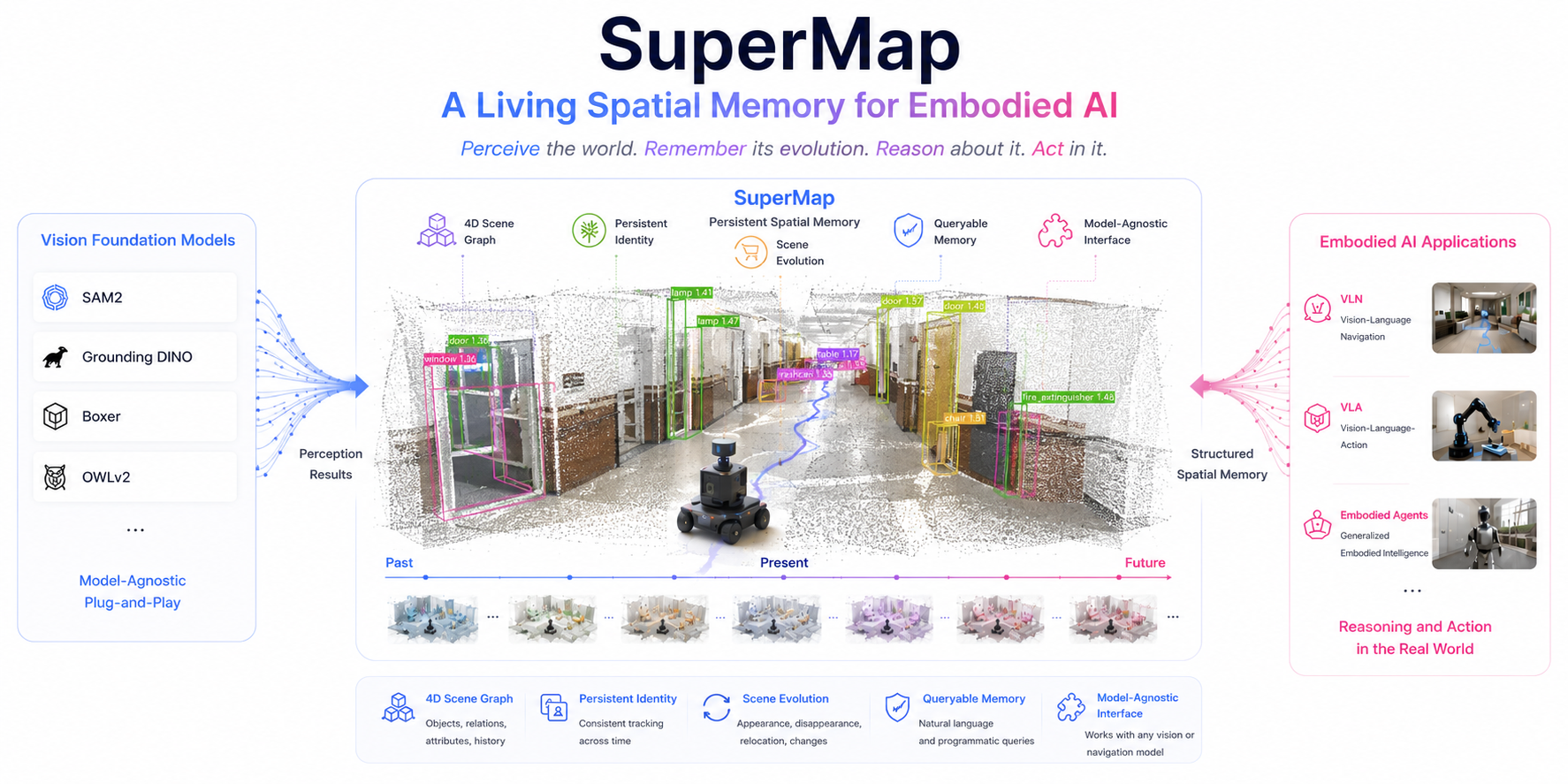
SuperMap
A spatio-temporal SLAM system for visual-language navigation. SuperMap fuses geometric SLAM with open-vocabulary perception to build a queryable 4D scene graph — a living spatial memory that tracks objects as they appear, move, and disappear, running online and onboard.
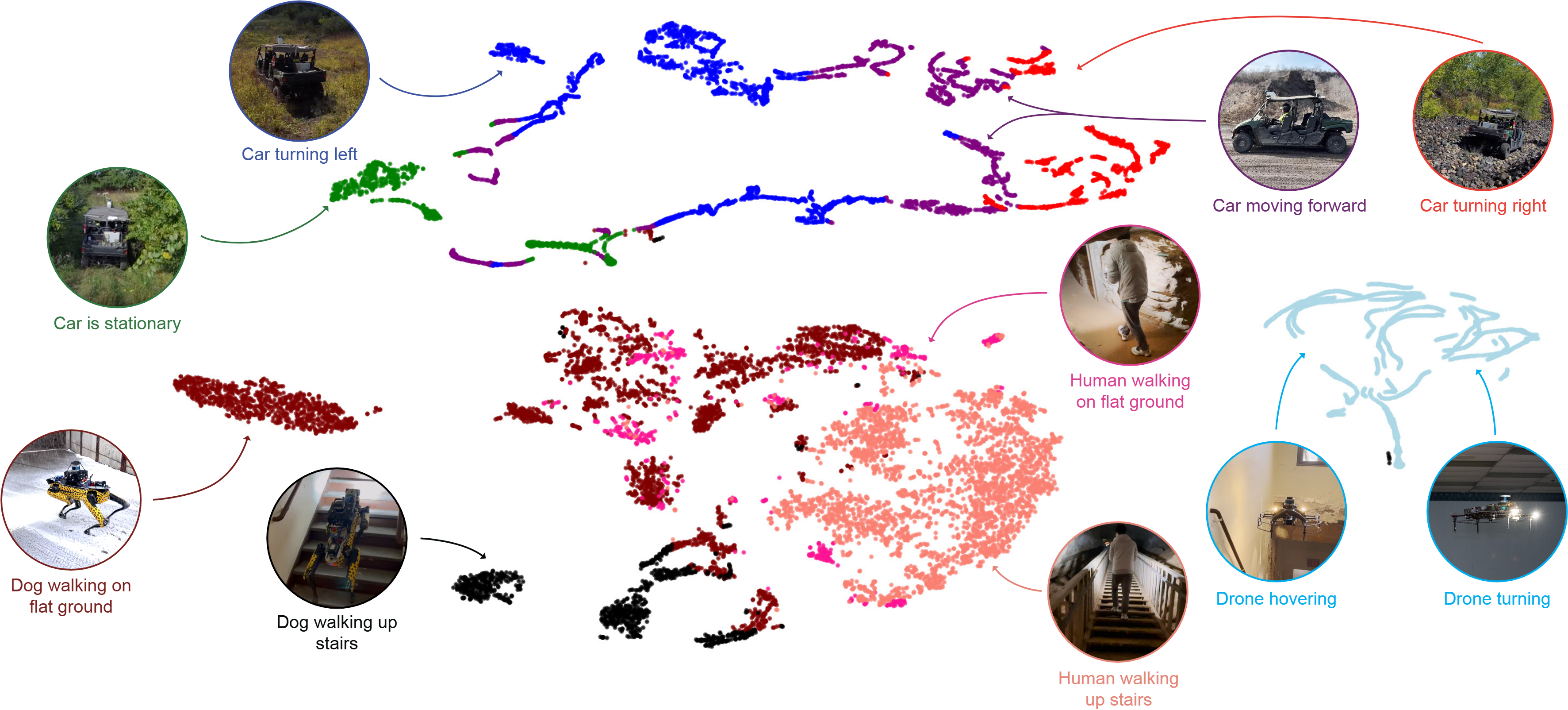
TartanIMU
A light foundation model for inertial positioning in robotics. Trained across cars, drones, quadrupeds, and humans, TartanIMU generalizes zero-shot to new platforms and adapts online with minimal compute.
SuperLoc
Robust LiDAR-inertial localization by predicting alignment risks before they cause failure. SuperLoc anticipates degeneracy in ICP registration and switches strategies proactively, staying reliable in geometrically degraded environments.
SubT-MRS
A multi-robot, multi-degraded SLAM dataset pushing SLAM towards all-weather environments — darkness, fog, dust, smoke, and self-similar areas — with RGB, LiDAR, IMU, and thermal modalities across real and simulated (TartanAir) scenes.
Super Odometry
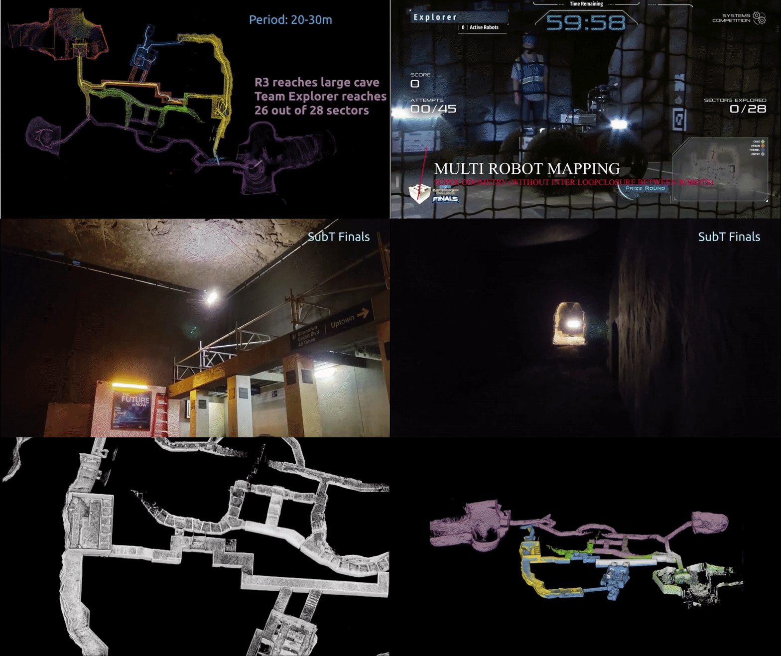
An IMU-centric LiDAR-visual-inertial estimator with hierarchical adaptation, delivering resilient odometry through darkness, dust, and geometric degeneracy. Selected as a top feature article on Science Robotics and battle-tested in the DARPA SubT Challenge.
TP-TIO
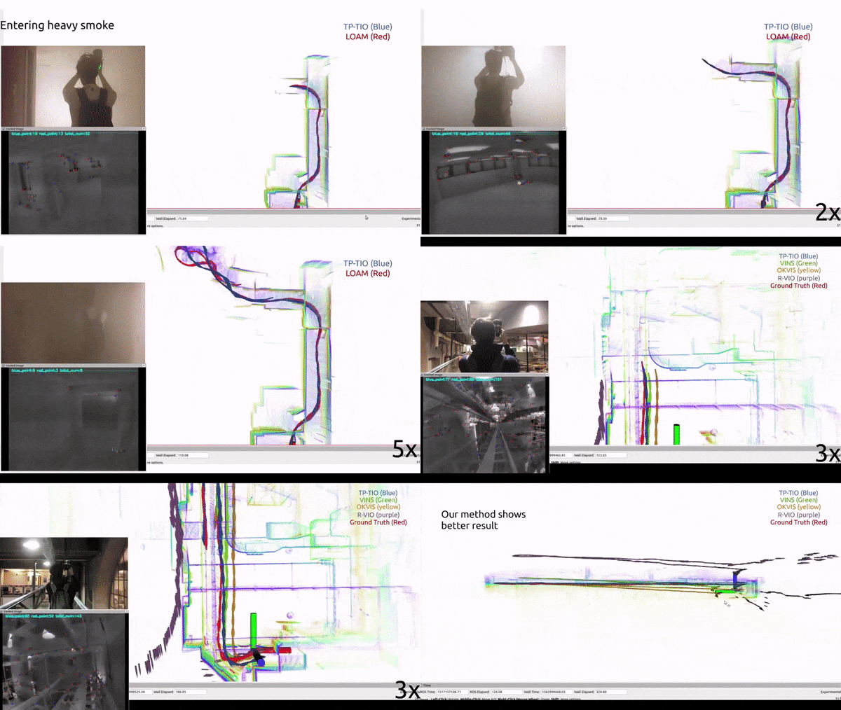
A robust thermal-inertial odometry with deep ThermalPoint. TP-TIO enables reliable state estimation in visually denied conditions — smoke, dust, and total darkness — where standard cameras fail.